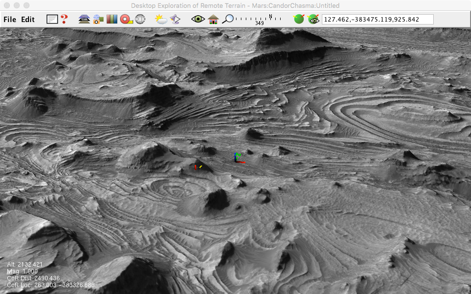
MRO HiRISE Example
The High Resolution Imaging Science Experiment (HiRISE) rides aboard NASA's Mars Reconnaissance Orbiter. It is producing high resolution (1 meter/pixel) stereo images used to create digital elevation models and orthoimagery.
Data Credit: NASA/JPL/University of Arizona
The CandorChasma files are found at the HiRISE [website] (http://hirise.lpl.arizona.edu/dtm/dtm.php?ID=PSP_001918_1735).
1.) Download the DEM file.
2.) Download the orthoimage and label files.
3.) Convert the orthoimage to GeoTIFF with gdal_translate (see Appendix D in the DERT user guide for further information).
gdal_translate -mo “AREA_OR_POINT=Point” PSP_001984_1735_RED_A_01_ORTHO.LBL PSP_001984_1735_RED_A_01_ORTHO.TIF
4.) Create a directory called CandorChasma.
5.) Create the elevation layer:
layerfactory -type=elevation -file=DTEEC_001918_1735_001984_1735_U01.IMG -tilesize=128 -landscape=CandorChasma
6.) Create the orthoimage layer (note the tile size is 4 times the elevation tile size):
layerfactory -type=grayimage -file=DT1EA_001918_1735_001984_1735_U01.TIF -tilesize=512 -landscape=CandorChasma
7.) Run DERT and select File>Open Landscape ..., navigate to the CandorChasma landscape, select it, and press New Configuration.
8.) Create a contour file with gdal_contour:
gdalwarp -t_srs '+proj=longlat +a=3396190.0 +b=3396190.0 +no_defs' DTEEC_001918_1735_001984_1735_U01.IMG unprojected_dem.tif
gdal_contour -a elev -I 50 -f GeoJSON unprojected_dem.tif contour.json
9.) Create a contour raster layer:
layerfactory -landscape=CandorChasma -file=contour.json -elevattrname=elev -color=0,0,192,255
10.) Reopen CandorChasma in DERT. Open the surface and layers view and add the contour layer to the scene.

11.) Create a roughness map with [gdaldem] (http://www.gdal.org/gdaldem.html):
gdaldem roughness DTEEC_001918_1735_001984_1735_U01.IMG roughness.tif
12.) Create a roughness field layer:
layerfactory -type=field -file=roughness.tif -tilesize=128 -landscape=CandorChasma
13.) View CandorChasma in DERT. Add the roughness layer to the scene and change the color map to default3.
